 |
    |


| Cyprus Nature Trails |
|
PITSYLIA A
mountainous region east of Troodos, of which the most important villages
are Palaichori, Agros, Alona, Askas, Polystypos, Platanistasa, Kyperounta,
Pelendri, Chandria, Dymes, Agridia and Kato Mylos. The region is fled
with rare natural beauty and a large variety of ecosystems and landscapes.
The natural Pinus brutia forests together with the thickets of the endemic
Gold Oak Cover large areas. 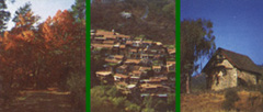 |
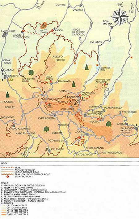
Click here to view map 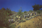
|
Trails
1.
Doxasi o Theos- Madari Fire Station 2.
Teisia tis Madaris 3.
Lagoudera - Agros 4.
Panagia tou Araka (lagoudera) - Stavros tou Agiasmati 5.
Agros - Kato Mylos (Circular) Points of interest: Apple, cherry, and pear orchards, vineyards and rose gardens, which give the famous Agros rosewater.
|
HOME
| About Cyprus
| Sports in
Cyprus |
Sports Facilities
| Weddings |
Our Company
| Our Services
|
Contact Us
© 2002-2026 Amazon Sports Services, Lefkosia, Cyprus. All rights reserved.